|
Home |
|
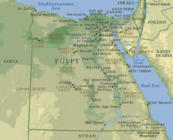
Egypt Map - Geography and governorates of EgyptEgypt area is 1,000,000 (1 Million Square kilometers) divided into 29 governorates, each headed by a governor appointed by the president. These governorates are subdivided into districts and sub districts. Each governorate has a capital city which is the headquarter of administrative bodies of the governorate are located. Cairo is the capital of Egypt of a population of around 15 million inhabitants and Alexandria is the second major city of the country although it is not the city with largest area. The following map of Egypt shows the borders of the country and major cities.
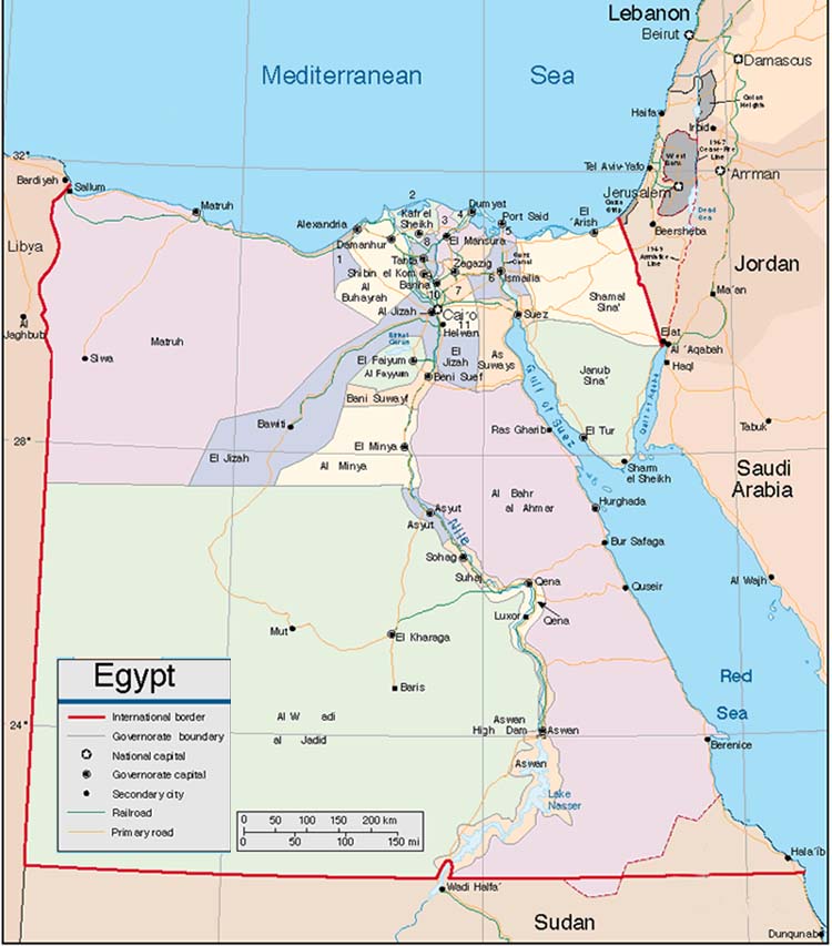
This is a Geographic map of Egypt showing the terrestrials of the country land. There are other maps of Egypt showing other information. The following map is an administration map of Egypt showing the governorates of Egypt each marked with a different color
While some governorates are larger in area than major ones, most of the area lies in the vast desert of Egypt. In fact approximately 97% of the total area of Egypt is uninhabited desert. Although there are currently many large cultivation projects aiming to grow crops in the desert, these projects are moving slowly towards the objective.
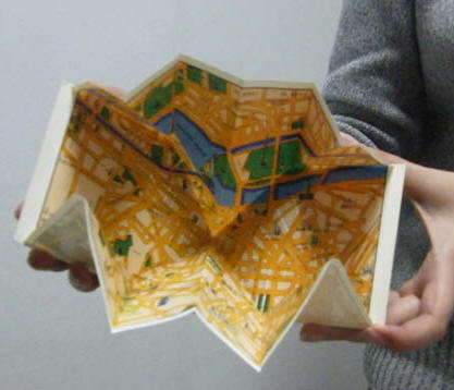
The following map of Cairo is a street map that serves as a greeting card you can give as a souvenir from Egypt to your friends.
A list of Egypt governorates:
Quick links: |
|